
Meade Moon Map

Meade Moon Map
The Meade Moon Map 260 is easy to use. First, identify the lunar feature you want to observe on the map and note the reference number closest to it. Then look up the reference number in the index table. The table is roughly organized sequentially from north to south (top to bottom). Alternatively, you could start by looking up the feature in the index table, and then find its reference number on the map. It's that simple!
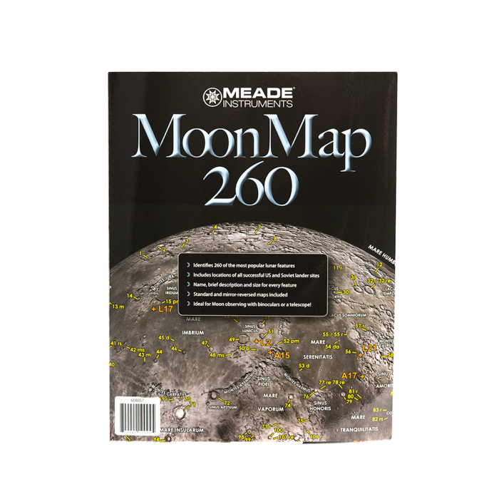
The Meade Moon Map 260 identifies over 260 lunar surface features including craters, mountain ranges, valleys, rilles, "seas" and more. Each feature is cross-referenced in the Moon Map's tables with its official name, size and a brief description. In addition to lunar landscape features, all successful spacecraft landing sites from US Apollo, Surveyor and Ranger Probe missions as well as Soviet Luna Probe missions are also clearly identified on the map. Designed for use with all types of telescopes and binoculars, the Meade Moon Map 260 features Moon images displaying a correct-image (right side up) and reversed (mirrored) image so what you see thru the telescope or binocular matches what you see on the map. This map is tough! The Meade Moon Map 260 is protected from dew, dirt, and liquids with a durable plastic laminated coating. It measures 25.25" x 11" when unfolded and reduces to a very portable 8.5" x 11" size when folded.