
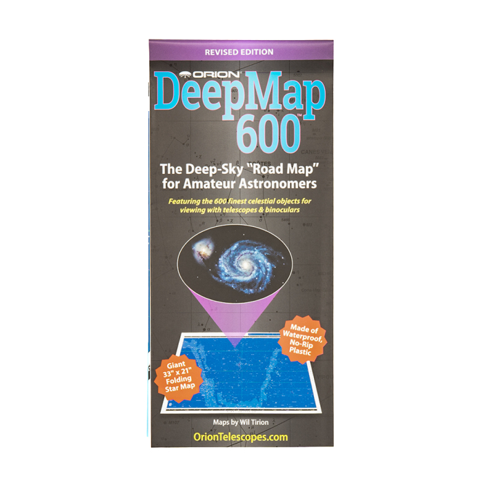
Orion DeepMap 600 Folding Star Chart

An Excellent Guide to the Night Sky for Beginners and Advanced Amateur Astronomers too!
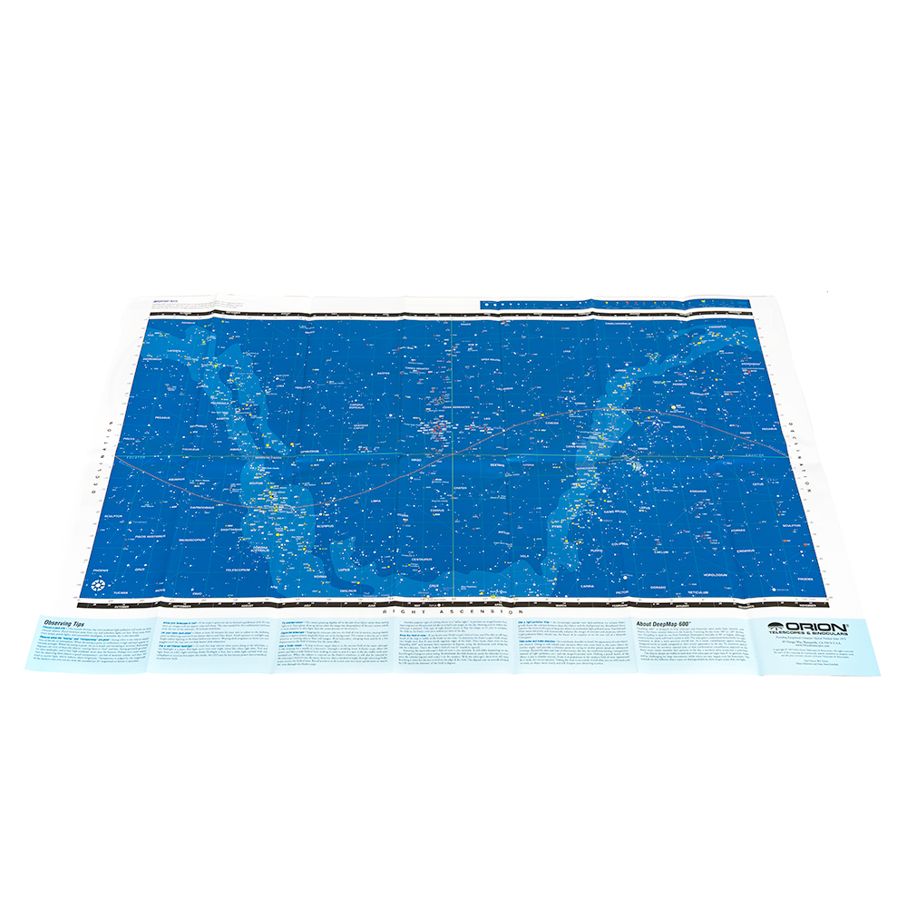
The Orion DeepMap 600 Folding Star Chart is an excellent guide to the night sky for night sky enthusiasts and advanced amateur astronomers. Designed for easy location of hundreds of deep-sky objects with telescopes and binoculars, this star chart includes detailed color-coded symbols identify more than 500 galaxies, nebulas, and star clusters - including all 109 Messier objects - as well as some 100 of the most interesting double and variable stars!
The Orion DeepMap 600 Folding Star Chart shows the positions of the 600 finest celestial objects visible from the Northern Hemisphere. All these popular objects are plotted on a wide 33" x 21" full-color star chart by world-renowned star-mapper Wil Tirion. This map covers the night sky from declination +90° to -60° and it even included a listing of essential data for each of the 600 plotted celestial objects, such as their coordinates, apparent magnitude, angular size, and even a brief visual description.

A Description of Over 600 Deep Sky Objects That Fits in Your Pocket!
The quick-reference Orion DeepMap 600 Folding Star Chart is all you need to begin surveying the night sky! It includes many helpful tips on general observing hints, and so much more. Check out the details below!

A Pocket Sized Folding Star Chart!
The Orion DeepMap 600 folds up "accordion style" to a thin, pocket-size 4-3/4" x 10-1/2", so you can leave your bulky star atlases and observing references at home! Crafted from a durable dew-resistent material, this portable star chart will withstand damp conditions for night after night of use under the stars.